Course Curriculum
Absen
-
Presensi
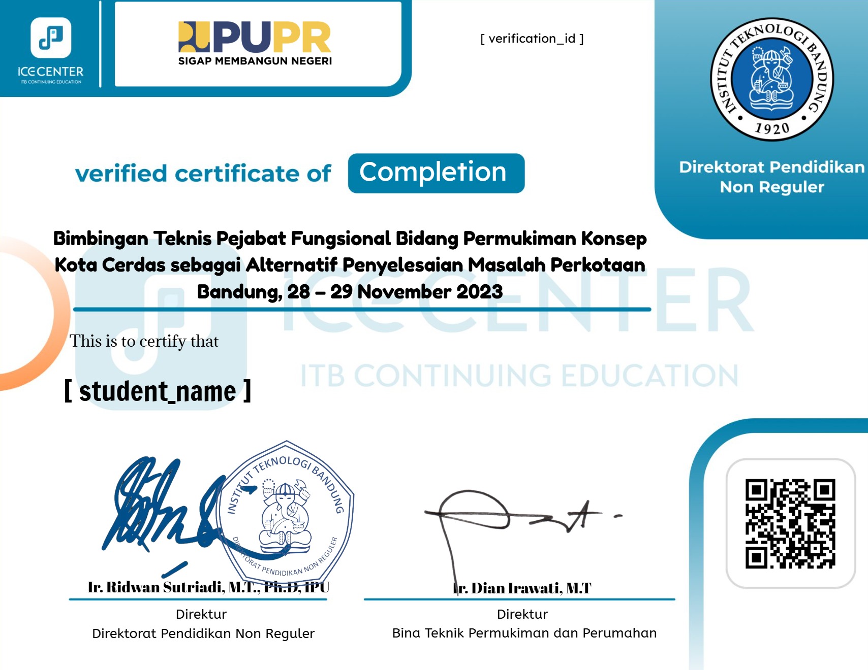
Earn a certificate
Add this certificate to your resume to demonstrate your skills & increase your chances of getting noticed.
Student Ratings & Reviews

No Review Yet
A course by

Deni Suwardhi
Cadastral Infrastructure, Software Engineering, Geomatic Engineering
